Big Data Fusion to Estimate Urban Fuel Consumption: A case study of Riyadh

Falling oil revenues and rapid urbanization are putting a strain on the budgets of oil-producing nations.
A direct and easy way to appropriate funds is to reduce fuel consumption by reducing congestion and car trips. While fuel consumption models have started to incorporate data sources from ubiquitous sensing devices, the opportunity is to develop comprehensive models at urban scale leveraging sources such as Global Positioning System (GPS) data and Call Detail Records.
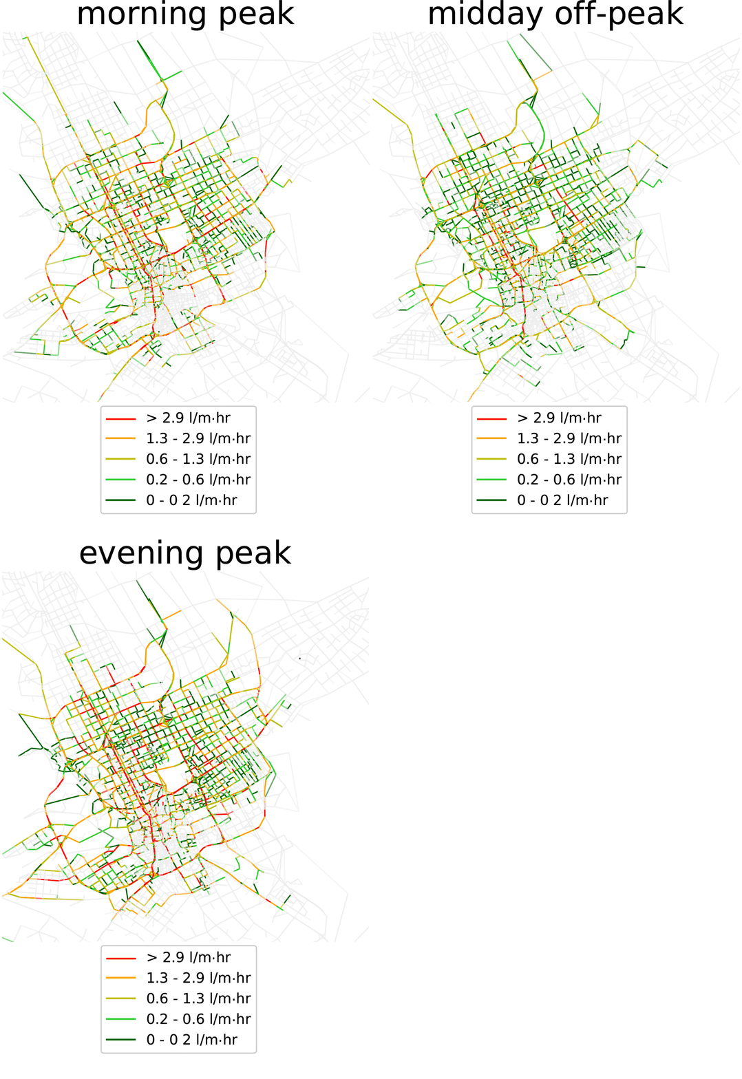
We combine these Big Data sets in a novel method to model fuel consumption within a city and estimate how it may change due to different scenarios. To do so we calibrate a fuel consumption model for use on any car fleet fuel economy distribution and apply it in Riyadh, Saudi Arabia.
The model proposed, based on speed profiles, is then used to test the effects on fuel consumption of reducing flow, both randomly and by targeting the most fuel-inefficient trips in the city. The estimates considerably improve baseline methods based on average speeds, showing the benefits of the information added by the GPS data fusion.
The presented method can be adapted to also measure emissions. The results constitute a clear application of data analysis tools to help decision-makers compare policies aimed at achieving economic and environmental goals.